Monitoring
Monitoring is something that most of us ecologists and naturalists think we are doing, or at least contributing to, all the time; but the honest truth is, we're not. Not in any meaningful way.
Allow me to explain: by 'monitoring', I don't mean counting something to see if its numbers are changing. I mean to find out if we are managing a site or a landscape optimally for conservation, and to have enough understanding of the ecosystem that we can modify the management regime for the better.
Regrettably, there are very few sites in Britain where even the baseline assessment has been done to find out what is there. You might assume your nature reserve is wonderful for a particular species because it was bought specifically for that purpose. But that can be a dangerous assumption: have you really assessed what else is important about it? You might be counting the number of one species in your site while missing the fact that others are disappearing at a disastrous rate.
In my consultancy I try to buck the trend by doing real monitoring, if I can. You can read some of my reports and see whether you think I am succeeding. I also try to teach monitoring, although it can't be reduced to a simple formula: it's more a matter of thinking things through a bit more thoroughly and being open-minded.
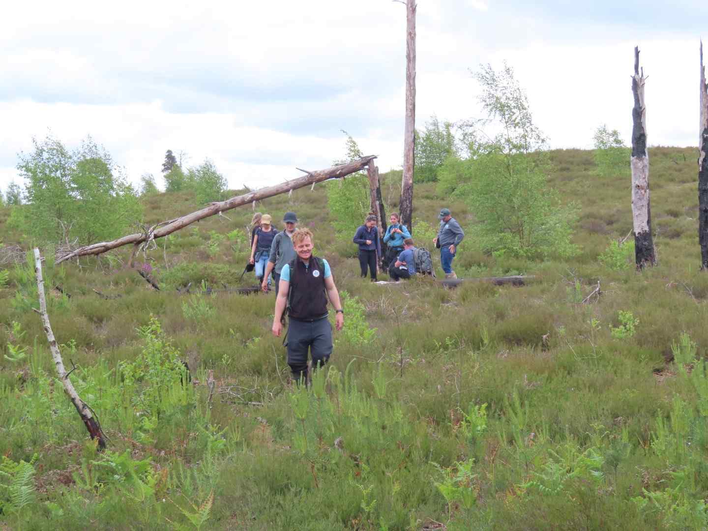
This is a site I have been studying for ten years or so. The management team at the local Wildlife Trust are pretty knowledgeable, and they do what one would think are all the right things. But the site is steadily losing value, as measured by its axiophytes, and it is difficult to explain why. Nothing that has been tried yet has reversed the trend. It's still a lovely site, by the way, but it has changes under way that do not seem beneficial.
That is in the nature of monitoring. Sometimes it produces results you don't want, or it does not provide the answers you were expecting. That is an indication that what you are doing is real and worthwhile, not just self-endorsement. Often, it comes up with surprising things that you just did not imagine. That's the fun bit.
At Hothfield, my suspicion is that we do not understand its vegetation. It is classified as a heathland with bogs, but the plants that are disappearing are grassland ones. Maybe it is really an acid grassland with wet and dry bits, not a heath with bogs. But that's only a theory - it needs testing.
You can read some of my reports here, and I would love to hear from you if you have a monitoring project that needs some advice or that you want to set up.
I asked a chatbot how you would set up a monitoring project, and it basically said 'do some transects of 50 cm squares.'
What?! Why? That is, to be fair, exactly what you would be taught at A level or as an undergrad, by some clueless teacher who has to think up some fieldwork for their students.
In my experience, those are two things that you really should not do, and I am 100% certain you should not start there. It contains too many assumptions.
You need to do a survey and find out about all the species and communities that are there. To do that, you should first have defined your boundaries - geographic and taxonomic. Then you need to consult people to see if your baselines seem accurate and complete.
Only then can you even start to plan your goals and practical techniques, like transects.
I have a group of students that discusses monitoring and publication of results, and anyone who is interested in conducting a monitoring exercise would be welcome to join.